wardley-maps.sgit.ai / Resources / wardleyToGo
wardleyToGo
Tool Live tool (library)
What it is
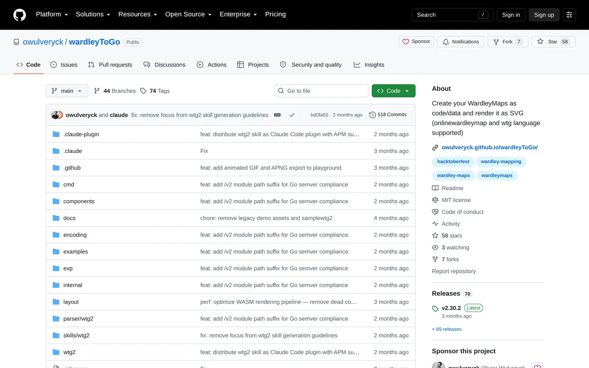
A Go library plus CLI for treating Wardley maps as data structures rather than pictures. It models maps on a 100×100 coordinate grid of visibility and evolution and renders to SVG. It accepts two input formats: OnlineWardleyMaps syntax (so it interoperates with the ecosystem standard) and its own WTG2 DSL, which is more expressive — Roman-numeral evolution phases (I–IV) instead of raw decimals, component declarations with coordinates and metadata, edges, annotations (notes, warnings, signals), pipelines, submaps, grouping, custom stages, and block-level configuration for type, colour and notes. The CLI is wtg2svg, reading WTG2 on stdin and writing SVG on stdout: go install github.com/owulveryck/wardleyToGo/cmd/wtg2svg@latest. A browser playground exists.
Limitations
Go-only — no bindings for Python, JS or anything else, which excludes most data-science and web workflows. WTG2 is a second, non-standard DSL that fragments the ecosystem; maps written in it don't open in OWM or Mermaid without conversion. Small community (58 stars), essentially one maintainer. SVG output styling is fixed and less polished than OWM's.
The details
| Maintainer | Olivier Wulveryck (@owulveryck) |
|---|---|
| Started | 518 commits on main; long-running. |
| Status, August 2026 | Live. 58 stars. Ships tagged binaries via GitHub Releases. |
| Licence | MIT |
| Home | https://github.com/owulveryck/wardleyToGo |
| Best single link | https://github.com/owulveryck/wardleyToGo |
Verified 2026-08-23 — status, licence and links checked against the source on that date. The site re-checks every URL it publishes on a schedule and publishes the run, successes and failures alike.
Attribution. "wardleyToGo by Olivier Wulveryck, MIT licensed."